Oakland Avenue apartments, located at Blendon Place
Oakland Avenue new condominiums, fronting on Clayton Road, also
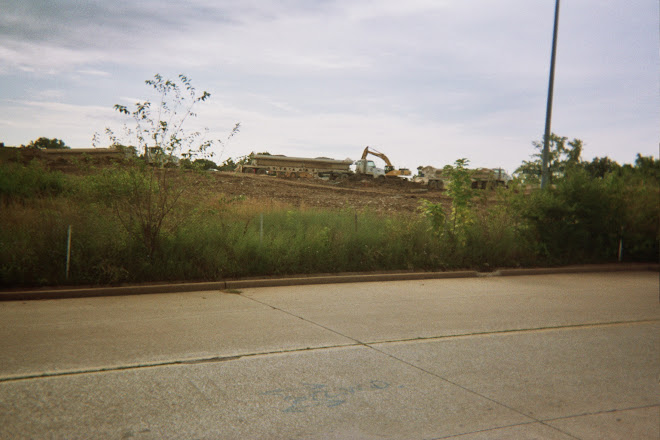
Oakland Avenue, looking east
Oakland Avenue, looking west, taken from near Blendon Place
Kuhs Place, looking toward Ethel Avenue, from at the Oakland Avenue intersection
Hi-Pointe Place, looking toward Ethel Avenue
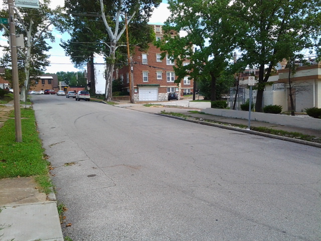
Oakland Avenue, looking east, from the Hi-Pointe Place intersection
Oakland Avenue, looking west, from the Hi-Pointe Place intersection
Hi-Pointe Place, looking toward Oakland Avenue
McCausland Avenue and Ethel Avenue houses, from the Hi-Pointe Place intersection
Hi-Pointe Place, looking toward Oakland Avenue, from the Ethel Avenue intersection
Houses on Berthold Avenue
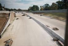
Old and existing Berthold Avenue intersection, looking east toward McCausland Avenue, and the New I-64 Highway.
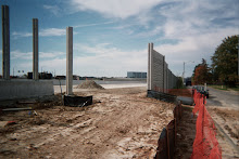
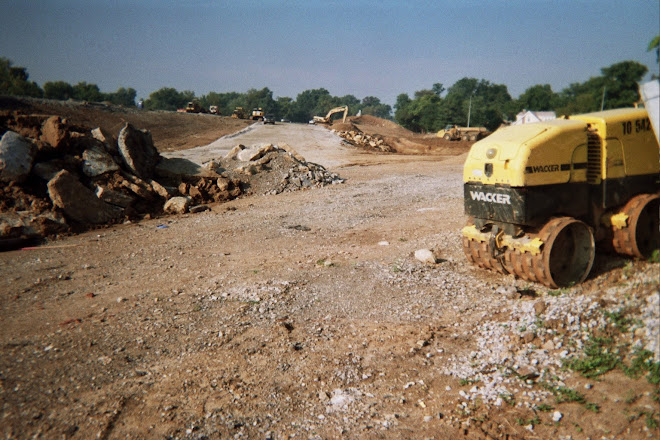
Missouri Dept. of Transportation property around the old and existing Berthold Avenue
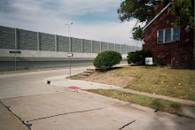
Berthold Avenue's old end of the street (existed prior to the highway 40/64 construction in the 1960s), showing the city of St. Louis Land Reclamation Authority property
Wise Avenue, looking toward Bellevue Avenue, from the Berthold Avenue intersection
Berthold Avenue curving up the hill, with Blendon Place on the left
Wise Avenue, with Berthold Avenue at the end of the street
Yale Avenue, looking toward Oakland Avenue
Oakland Avenue looking east
Yale Avenue, looking toward the Wise Avenue intersection
Blendon Place, looking toward Oakland Avenue
Blendon Place, looking toward Berthold Avenue, with the Ethel Avenue intersection on the left side
Kuhs Place, looking toward Oakland Avenue, from at the Ethel Avenue intersection
Ethel Avenue, looking west from the Hi-Pointe Place intersection
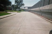
Wise Avenue new concrete road and sidewalks, new sod laid - finished on the east side of Bellevue Avenue
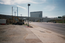
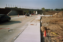
Concrete road work - replacing Wise Avenue ongoing this summer
Wise Avenue at Highland Terrace intersection